The ISPRS SC Webinar Series
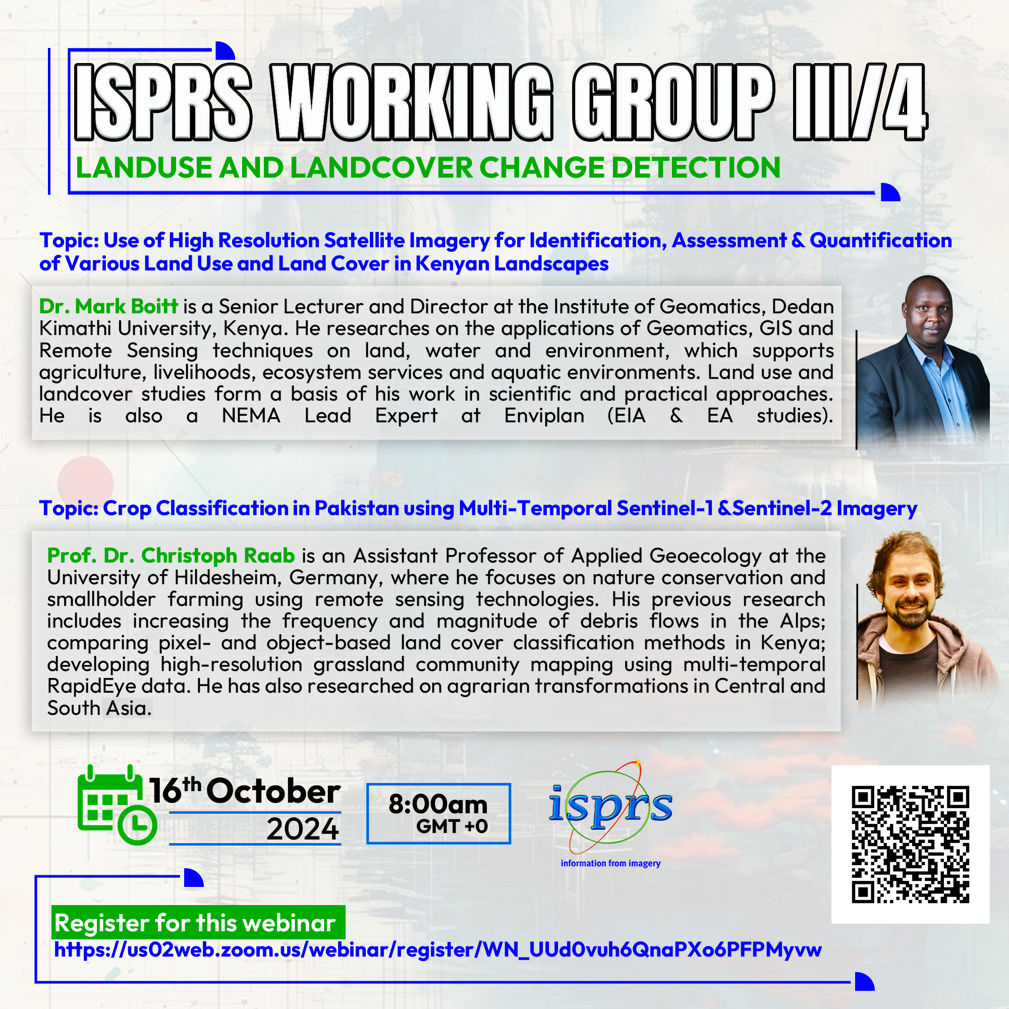
ISPRS WG III/4 Webinar on Land Use and Land Cover Change Detection

This webinar is organised by ISPRS TC III/WG 4 and supported by ISPRS Student Consortium (ISPRS SC). This webinar consists of two presentations as follows:
Title 1: Use of High Resolution Satellite Imagery for Identification, Assessment and Quantification of Various Land use and Land Cover in Kenyan Landscapes
Speaker’s Bio : Dr. Mark Boitt is a Senior Lecturer and Director at the Institute of Geomatics, GIS & Remote Sensing at the Dedan Kimathi University and a member of the Institution of Surveyors. He researches on the application of geomatics, GIS and Remote Sensing techniques on land, water and environment. His research focus supports agriculture, livelihoods, ecosystem services and aquatic environments. Land use and landcover studies form basis of his work in matters that relate to identification, assessments, quantification and understanding the various phenomena in a more scientific and practical approach. He is also a NEMA Lead Expert at Enviplan (EIA & EA studies).
Topic 2: Crop Classification in Pakistan Using Multi-Temporal Sentinel-1 and Sentinel-2 Imagery
Speaker’s Bio: Dr. Raab is currently an Assistant Professor of Applied Geoecology at the University of Hildesheim, Germany, where he focuses on nature conservation and the agriculture of smallholder farmers using remote sensing technologies. His bachelor's thesis was on increasing the frequency and magnitude of debris flows in the Alps due to climate change. His master’s thesis compared pixel- and object-based land cover classification methods in Kenya. During his Ph.D. he developed high-resolution grassland community mapping using multi-temporal RapidEye data, which aided in understanding the foraging behavior of wild red deer and contributed to sustainable grazing management practices. He has also researched on agrarian transformations in Central and South Asia.

